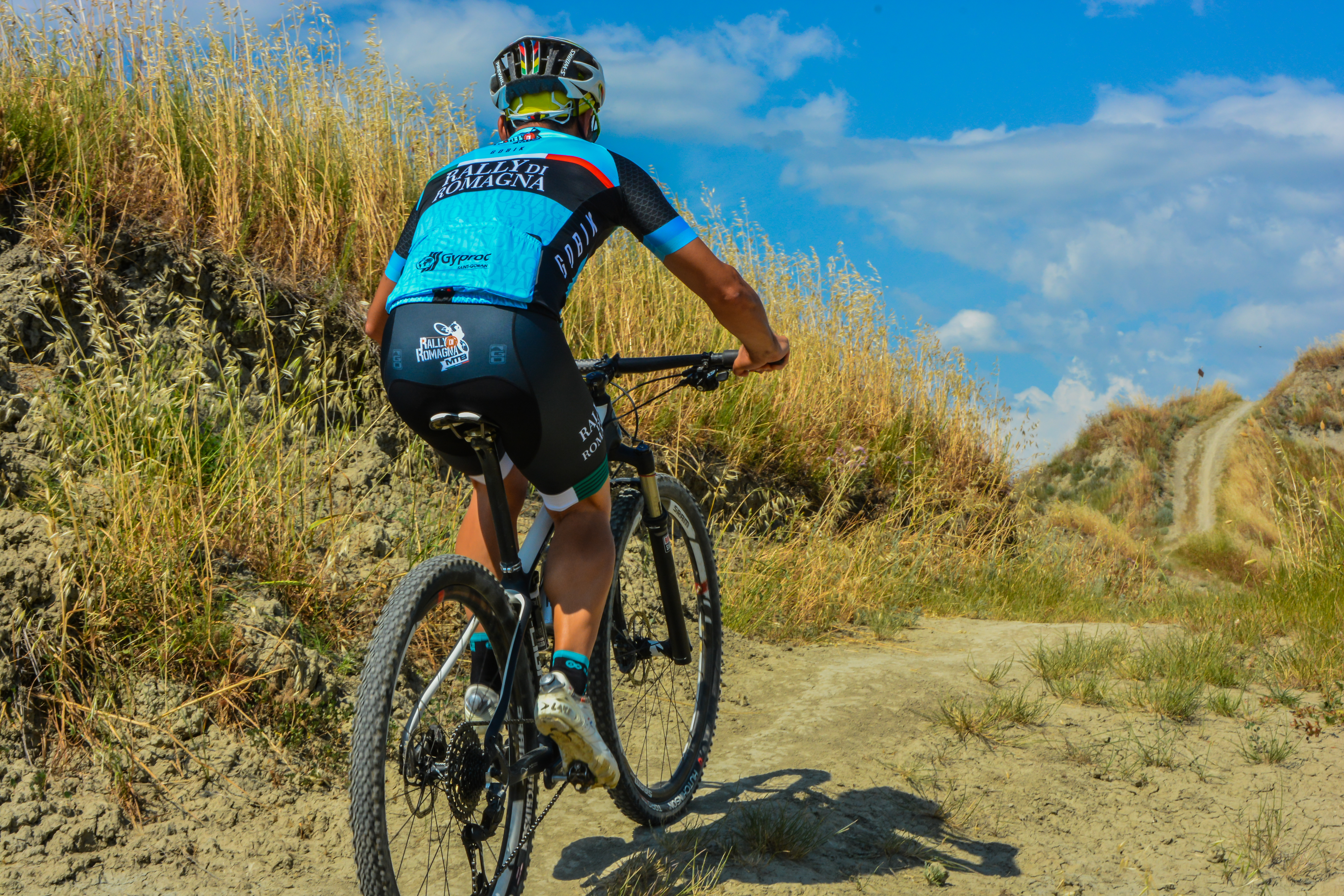
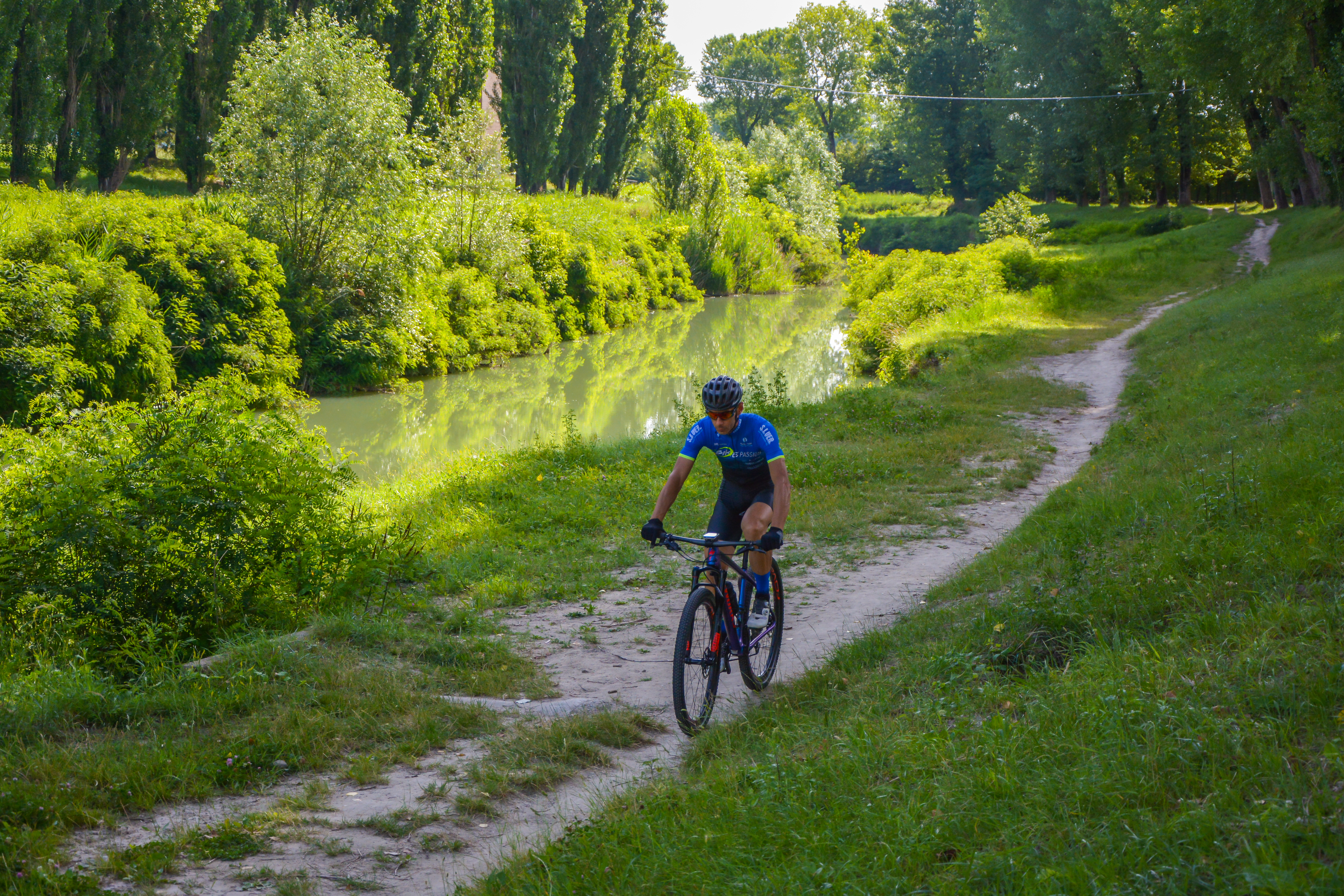
Romagna Faentina is home to a magical landscape where unspoilt nature meets historical heritage and deep wellbeing. Among the jewels of this land is Riolo Terme, a village of waters and history, nestled next to the Vena del Gesso Romagnola Regional Park — recently included in the prestigious UNESCO World Heritage List for its exceptional karst system in evaporite rocks.
To help you discover this treasure trove of biodiversity step by step, on foot or on two wheels, we present the complete guide to "I Petali della Ginestra": an exclusive network of 5+1 hiking routes designed both for those who enjoy relaxing walks and for more demanding trekkers and mountain bike enthusiasts.
Get your hiking boots, water bottle and camera ready: let's go!
Trail 01: Blue Lakes
A relaxing and accessible waterside route, ideal for families and rejuvenating walks.
- Length: 5.4 km
- Elevation gain: 50 m
- Walking time: approx. 1h 30m
- Difficulty: ★
The trail begins in the heart of Riolo Terme, precisely in front of the Town Hall (A) at Via Aldo Moro 2, where you will find a large car park and a drinking-water fountain next to the municipal building. Walking along Via XXV Aprile and alongside Parco Pertini, you will come across the characteristic "hairpin" path cutting through the pine forest, leading you to the pavement along the provincial road.
Cross at the pedestrian crossing towards Parco Scattini (1), a green oasis rich in significance and linked to the memory of the Liberation. From here, a pedestrian bridge will lead you towards the elegant Riolo Terme Spa (2), set within a vast tree-lined park. Following the fence of the spa complex along Via Ermenegildo Costa, you will enter the actual nature trail. You will walk alongside the Molino di Serravalle canal, accompanied by the relaxing sound of flowing water until you reach the asphalt road again. Turn right and then immediately left at the junction, taking Via Bertozzi, to reach the picturesque Blue Lakes (3), the ideal place for a short contemplative break before returning along the same route in reverse.

Trail 02: Gallisterna
The ideal extension into the hills for those who want to pick up the pace and enjoy spectacular views.
- Length: 8.9 km
- Elevation gain: 90 m
- Walking time: approx. 2h 30m
- Difficulty: ★
This trail follows the entire first section of the Blue Lakes route (Trail 01). Once you reach the beautiful setting of the artificial lakes, instead of turning back, the adventure continues towards the locality of Isola.
After crossing the modern Margherita Hack Bridge (4), continue straight ahead, beginning a gradual and fascinating climb towards the hilltop ridge. The paved road leading uphill to Gallisterna has no pavement but is very lightly trafficked (nevertheless, maximum caution is recommended). Step by step, the view opens out over the valley's cultivated fields, leading you to the beautiful and secluded Church of Gallisterna (5), dedicated to Saint Thomas the Apostle. This little church, the endpoint of the hike, overlooks the landscape and offers postcard-perfect views. The return journey follows the route in reverse, offering new perspectives and changing plays of light across the landscape.

Trail 03: Monte Ghebbio
A wonderful circular journey suspended between ceramic art, historical memories and giant benches.
- Length: 7.6 km
- Elevation gain: 170 m
- Walking time: approx. 2h 10m
- Difficulty: ★★
The starting point is once again the Town Hall of Riolo Terme (A). Before setting off, take a few minutes to visit the nearby Church of San Giovanni Battista (1), which houses a magnificent ceramic panel by the renowned painter Sante Ghinassi. After passing the roundabout on Corso Matteotti, take Via Rimembranze to admire the evocative Chiesina dei Caduti (2), the little church dedicated to the fallen. Continuing along Via Ripa, you will reach the historic Badia di San Pietro in Sala.
At this point, the route changes character: the asphalt gives way to an evocative unpaved track running alongside cultivated fields along Via Molino Maschi. Once you reach the provincial road (Via Bologna), cross it to access the convenient cycle path on the opposite side. Turn right, pass through the hamlet of Cuffiano and take Via Ossano on the left. Here the road begins to climb, offering a panoramic walk up to the summit of Monte Ghebbio (3). At the top, a spectacular panoramic bench awaits you, perfect for taking memorable photos. The descent towards the town centre is gentle, returning to the village via Via Martiri di Marzabotto, Via Oberdan and Viale Mazzini.
Map and GPX track to download:

Trail 04: Mazzolano
An extraordinary route through prestigious vineyards and views over the badlands where the thermal waters originate.
- Length: 8.4 km
- Elevation gain: 280 m
- Walking time: approx. 3h
- Difficulty: ★★★
Starting from the Town Hall (A), leave the Church of San Giovanni Battista (1) behind you and head towards the spacious Parco Pertini. From here, you will begin to enter the hilly landscape, climbing Via Mazzolano. Next, take Via Lotta and follow it all the way downhill until you cross the picturesque Mazzolano stream. In this beautiful little valley, you can see the Portaferiti Monument (2), an important historical testimony linked to the wartime events of the area.
From the valley floor, the trail climbs again towards the majestic Church of Mazzolano (3), standing like a sentinel over the surrounding hills. Continue by turning right towards Mezzacosta: you will walk through countryside rich in geometric vineyards and meticulously tended orchards until the loop closes. From the seventh kilometre onwards, the descent will reward you with an incredible surprise: wide and vertiginous views over the badlands of Rio Vecchio, clay amphitheatres where the natural springs of Riolo's mineral waters are located. From here, the view stretches across the upper Senio Valley, the northern side of the Vena del Gesso and, on clear days, as far as the Imola and Ferrara plains.

Guide to Trail 05: Monte Mauro (Trekking)
The ultimate challenge of the guide. A wild and fascinating immersion towards the highest peak of the Vena del Gesso.
- Length: 16.7 km
- Elevation gain: 520 m
- Walking time: approx. 5h
- Difficulty: ★★★★★
If you are looking for a true outdoor adventure and want to experience the heart of the UNESCO World Heritage Site first-hand, this is the trail for you. The route starts in the spa area of Riolo, near the River Park (which also has an excellent campervan area). After passing the historic Spa Establishment (1) in Art Nouveau style, you leave the valley floor behind and enter the unique ecosystem of the Regional Park.
Walking along the gypsum ridges, with a series of quick and stimulating ups and downs, you reach the iconic Picco Camurani (2), offering an impressive view over the surrounding badlands. Continuing south, you arrive at the Ca' Castellina Car Park (3), the gateway marking the beginning of the summit loop around Monte Mauro (515 m above sea level). This mountain has three distinctive peaks; along the circuit you will encounter the beautiful Pieve di Santa Maria Assunta in Tiberiaco (4), of medieval origin, perched on the gypsum ridge. A little further on, a breathtaking viewpoint reveals Monte della Volpe (5) and the mysterious blind valley of the Rio Stella. Continuing the loop towards the Sella di Ca' Faggia, you can admire from above the entrance to the Ca' Toresina Cave (6), a famous Roman-era mine where lapis specularis (the stone glass) was extracted. Once the loop around the summit is complete, follow the ridge trail northwards to return to Riolo Terme.


Guide to Trail 06: Monte Mauro (MTB / E-Bike Variant)
The "+1" of our guide: the perfect loop for lovers of big wheels and adrenaline.
- Length: 23.2 km
- Elevation gain: 690 m
- MTB riding time: approx. 2h 20m
- Difficulty: ★★★★★
This route reworks the great ascent to Monte Mauro to make it perfect, smooth and enjoyable on a Mountain Bike or modern E-Bike. The route starts from the Riolo Spa (1). Cyclists initially head south-east along Via Limisano and Via Laderchio, beginning a gradual and panoramic climb through the hilly ridges.
On two wheels too, you will reach the park's most spectacular points: after passing Picco Camurani (2) with its badlands, you cycle through the woods until reaching the Ca' Castellina Car Park (3). Via Co' di Sasso leads you to the Pieve di Santa Maria Assunta (4) and the viewpoints over Monte della Volpe (5), cycling among glittering gypsum outcrops and clay formations. The return section is pure adrenaline: after passing the Sella di Ca' Faggia and the Ca' Toresina Cave (6), take the fun and fast descent along Via Rio Ferrato, which slopes down towards the valley and takes you directly back to the starting point.

🎒 Practical Tips for Travellers
Walking (or cycling) works up an appetite and curiosity! To round off your day in Riolo Terme, we recommend adding a visit to the majestic Rocca di Riolo Terme (located in Piazza Ivo Mazzanti) to your itinerary, a beautifully preserved Sforza fortress.
Useful Contacts for Planning Your Excursion:
- Riolo Terme Tourist Office: Tel. 0546 71044 (call here for real-time updates on trail conditions or to collect the printed map)
- Rocca di Riolo: Tel. 335 120 9933
- Municipality of Riolo Terme: Via Aldo Moro 2, Tel. 0546 77411
- Services for hikers: At the starting points in Riolo Terme, you will find public toilets and showers available to freshen up after your trek!
Which "Petal of the Broom" will you choose for your next adventure in Romagna Faentina? Share your photos on social media by tagging @aroundfaenza!